


Hiking & Trekking

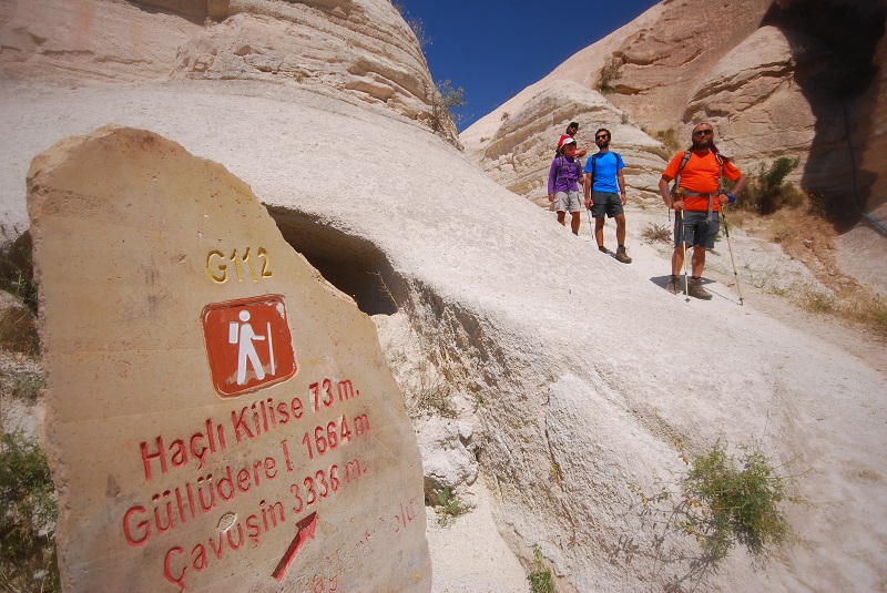
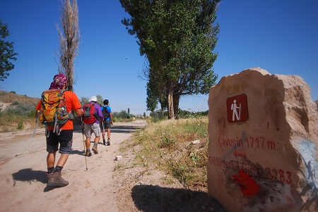
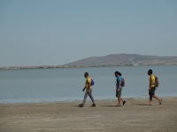
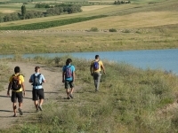
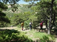
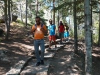
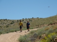
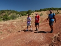
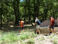
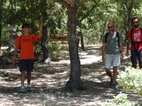
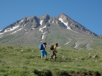
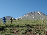
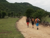
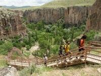
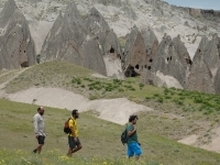
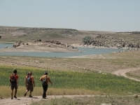
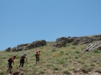
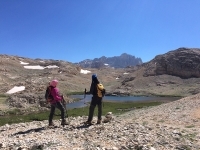
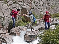
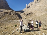
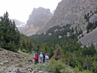
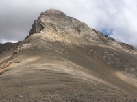
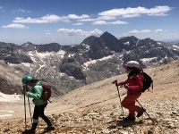
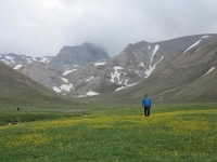
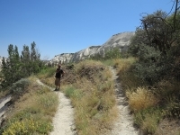
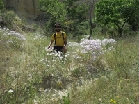
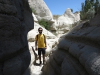
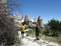
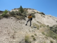
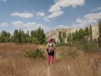
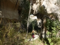
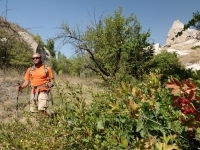
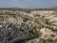
Valley walks, where every person in nature is happy to be involved, is one of the favorite activities of adventure lovers around the world. Trekking routes, which are both enjoyable and challenging, can vary according to geographical differences. And, at the end of the courses, they provide their participants with satisfying feelings. Turkey has also hiking trails in many different regions. With its anthropic and geographical features, Cappadocia Valleys are one of the most impressive in Turkey, with its magnificent beauty of fairy chimneys. You will not be able to forget this trip for a long time, where you can pass through fruit trees, listen to the chirps of birds and discover all the colors in the vegetation. While walking through the tunnels formed by the tuff cliffs, it will be quite fun to taste the fruits in the tree branches and you will wish your walk to never end. You will be refreshed with every step you take in Cappadocia, where the summer is beautiful, the spring is beautiful, the winter is completely beautiful and the autumn is indescribable. Moreover, you will witness history during this trekking. Güvercinlik Valley, Zelve, Red Valley and Love Valley will be waiting for you in all their glory and all you have to do is set out to explore this unique view.
According to the season; You should not forget to buy accessories that will make you comfortable during the walk, such as sunglasses, hat, raincoat. If it is summer, you should not separate your spare clothes and cold water bottles. Most importantly, you should hang your camera around your neck to immortalize and share your happiness with this unforgettable Cappadocia moment.


Panoramic photo spots
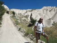
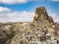
A monolithic giant fairy chimney: Uchisar Town
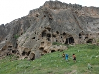
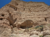
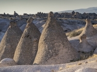
Fairy chimneys that housed thousands of pigeons
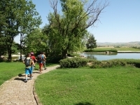
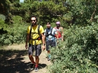
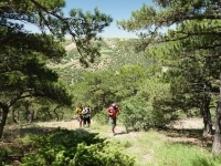
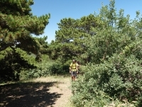
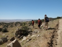
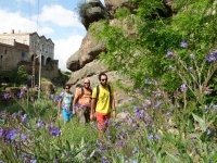
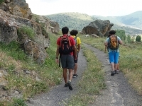
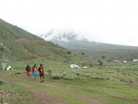
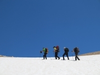
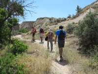
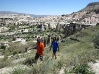
Paths where every nature lover can walk easily with pleasure
Uchisar Town, a giant fairy chimney
Vineyards and orchards hidden in whiteness
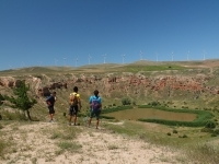
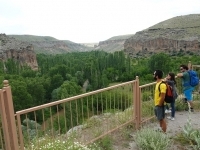
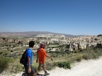
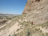
Panoramic vineyard trail with open view and spacious structure
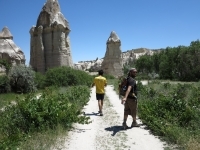
Comfortable paths among fruit trees and vineyards
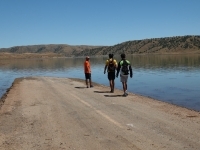
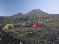
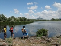
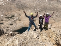
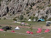
Camping opportunity in a lush place with valley view
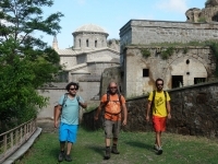
Places where surreal geography blends with history
Early period church paintings in the Church of the Evil Eye
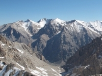
Bozdag, embracing the valleys of Cappadocia
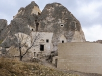
Ortahisar with lemon storage carved into the rock
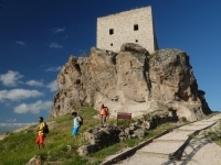
Roman Castle carved into a high fairy chimney
Kiliclar Valley; an ancient valley of churches and monasteries
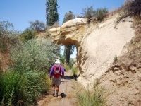
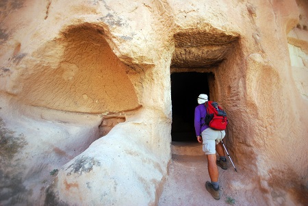
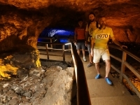
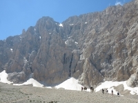
Tunnels, caves, and rocky coves of Meskendir Valley
Ortahisar; an indispensable place for photography tours
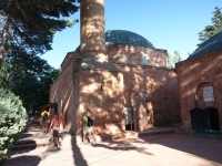
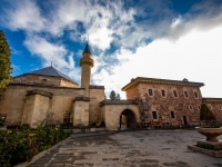
Cavusin with Seljuk Mosque
Nostalgia on the walls of the valley
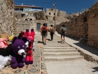
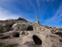
Life in cave houses
Ibrahimpasa; an indispensable place for photographers
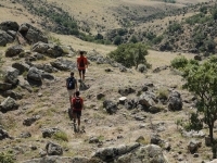
Zemi Valley: A verdurous mystery
The spirit of adventure through short tunnels and narrow paths
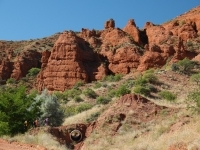
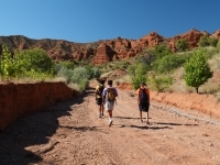
Valleys under a red cover
Ancient stories carved in caves
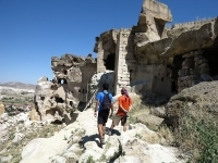
Incredible churches hidden in valley walls
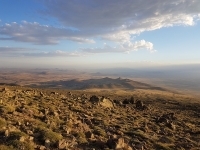
Valleys that immediately take you away from civilization
Ancient stories hidden in caves
Paths through a reddish scenery
Unexpected myths
Astonishing murals engraved in secluded valleys
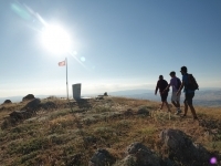
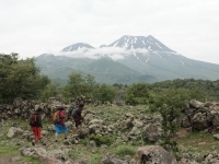
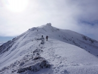
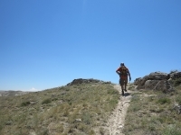
The sense of adventure with elevation
Ancient stories carved in caves
The harmony of colours in Kizilcukur Valley
Ancient stories carved in caves
Cavusin village with nostalgic streets and abandoned houses.
Paths surrounded by crimson fairy chimneys
Basilicas that witnessed the birth of a religion
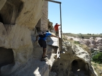
Adventurous tunnels and passages
Details from village life
Spectacular view for photography
Exquisite local delicacies
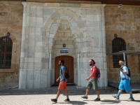
Sakir Pasha Madrasa, an old school that remained to be a university
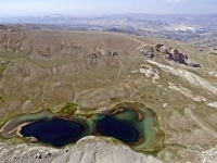
Mystical Gomeda ruins
Unique architecture that hosted movies and TV series
Valleys that immediately take you away from civilization
Ancient stories hidden in caves
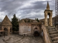
Scenes from history in Mustafapasa with its Greek architecture and madrasah
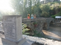
Narrow and wide paths blessed with water
Life painted on dovecotes.
Musatafapasa with its wide streets, madrasah, and architecture
Photogenic villages
Wide and smooth paths
Nostalgia carved on valley walls: Balkan church
Daily life in cave houses.
Ortahisar; a popular place for photography tours
Unique life in rock houses
Touching the history mixed with nature
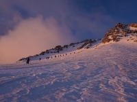
Sleeping on soft volcanic ash away from civilization
Caves where monks and saints lived
Nostalgic Cemil village
The mysterious Keslik Monastery with its mystical murals, holy spring, and garden
Conversation with Cabir Bey, who spent years for the monastery
Keslik Monastery, which deeply affects people with its texture and smell
Smooth paths, life carved in caves
Chatting with Cabir Bey and his family
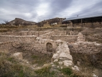
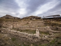
Journey to Cappadocia's only known Roman settlement
Keslik Monastery, which deeply affects people with its texture and smell
Smooth paths, life carved in caves
The travellers' route away from tourists
Nevsehir's only known Roman settlement with its mosaics.
Discovering the mysteries of Nevsehir
A quiet and smooth descent with the chirping of birds
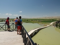
Sulusaray; an incredible Byzantine settlement.
Following the path of the saints
Stories and charms are hidden in symbols.
Memories accumulated on the trails since the first century
Cultural contrasts attract photographers.